xThe BalticRIM project brought underwater cultural heritage to the surface
The BalticRIM project incorporated maritime cultural heritage into maritime spatial planning in the Baltic Sea region and promoted awareness of the significance of maritime cultural heritage and phenomena, information sources, and the role of cultural heritage as part of blue growth. The project's final report and handbook summarise the project's recommendations and best practices, as well as status reviews of maritime spatial planning and practices in different countries. The project website, the Data Portal, and the WIKI website provide more detailed information on the project's work packages and themes. They also provide information on Baltic Sea’s maritime and underwater cultural heritage, Baltic Sea terminology, and research results.
On a worldwide scale, the underwater cultural heritage of the Baltic Sea region is exceptionally well-preserved and diverse. The BalticRIM project (2017-2020) brought underwater and maritime cultural heritage to the Baltic Sea countries' maritime spatial planning.
As a result of the project, cultural heritage gained prominence in national maritime spatial planning processes, documents and plans, as well as in international maritime spatial planning seminars. Cooperation between maritime spatial planners, cultural heritage experts and HELCOM-VASAB, the main player in maritime spatial planning in the Baltic Sea region, was strengthened also.
Project results are available in the final report and online services
The final report and handbook of the BalticRIM project present the main results of the project, recommendations, best practices, as well as challenges in integrating cultural heritage into maritime spatial planning, and legislation on cultural heritage and maritime spatial planning. The final report and handbook also present, on a country-by-country basis, how cultural heritage was taken into account in the maritime plans of the various Baltic Sea countries, and how national legislation and practices affect planning. The final report also describes the maritime cultural heritage of the Baltic Sea region, its significance and what opportunities cultural heritage offers for sustainable tourism.
BalticRIM project final report (pdf)
The project's website, the Data Portal (map portal) and the WIKI website provide more detailed information on, among other things, the project's results, work packages, themes, maritime and underwater cultural heritage in the Baltic Sea region, cultural heritage tourism, and cultural heritage and design terms and their definitions.
The results of the fieldwork are available at Kyppi.fi
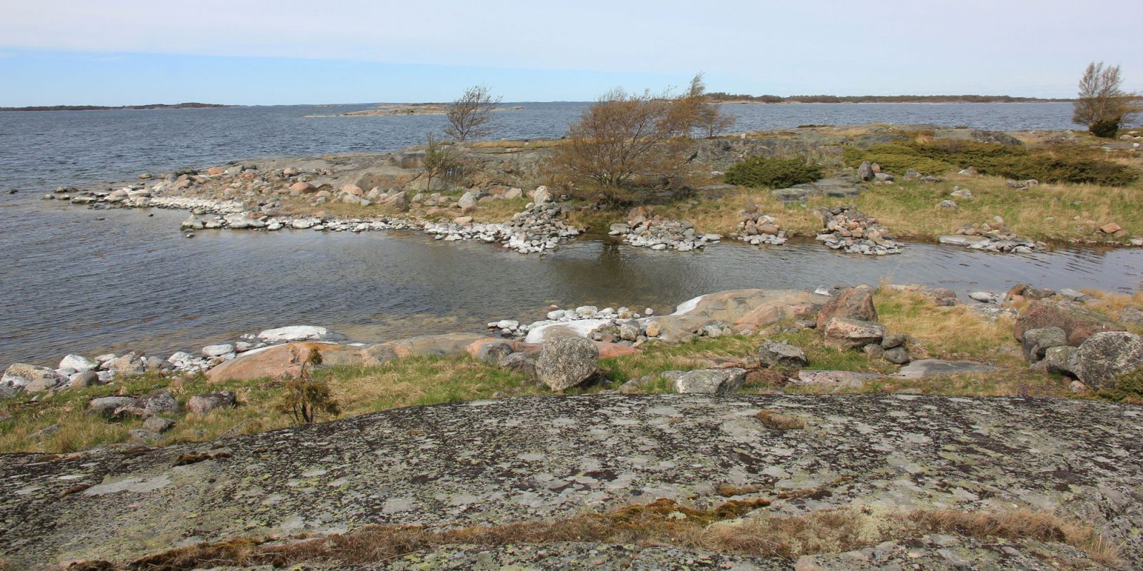
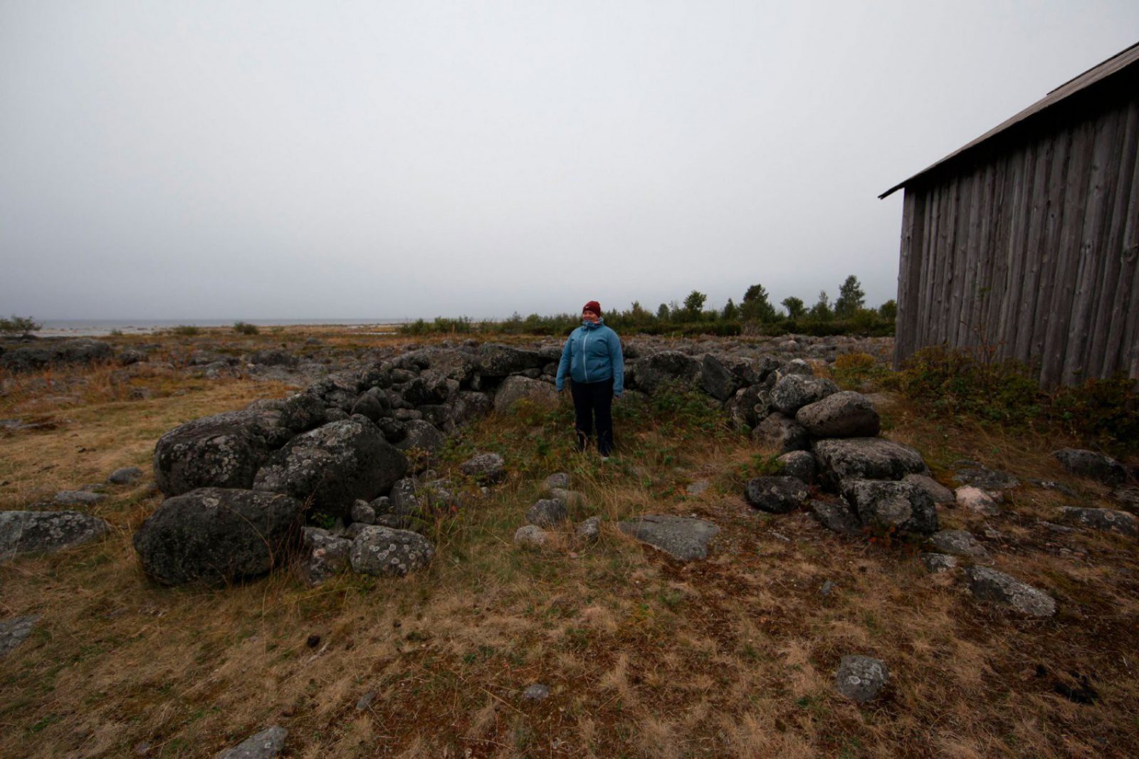
In Finland, the Finnish Heritage Agency and Metsähallitus carried out fieldwork for the BalticRIM project in 2018 and 2019 in Jussarö, Lahia, Virolahti, Korpoström, and in large areas in the Archipelago Sea and the southern parts of the Bothnian Sea. The aim of the marine archaeological fieldwork and the regional workshops that preceded it was to gather information from the locations, to raise awareness of the underwater cultural heritage and to map in particular so-called ship trap sites i.e., areas where there are multiple ship wrecks and natural harbours.
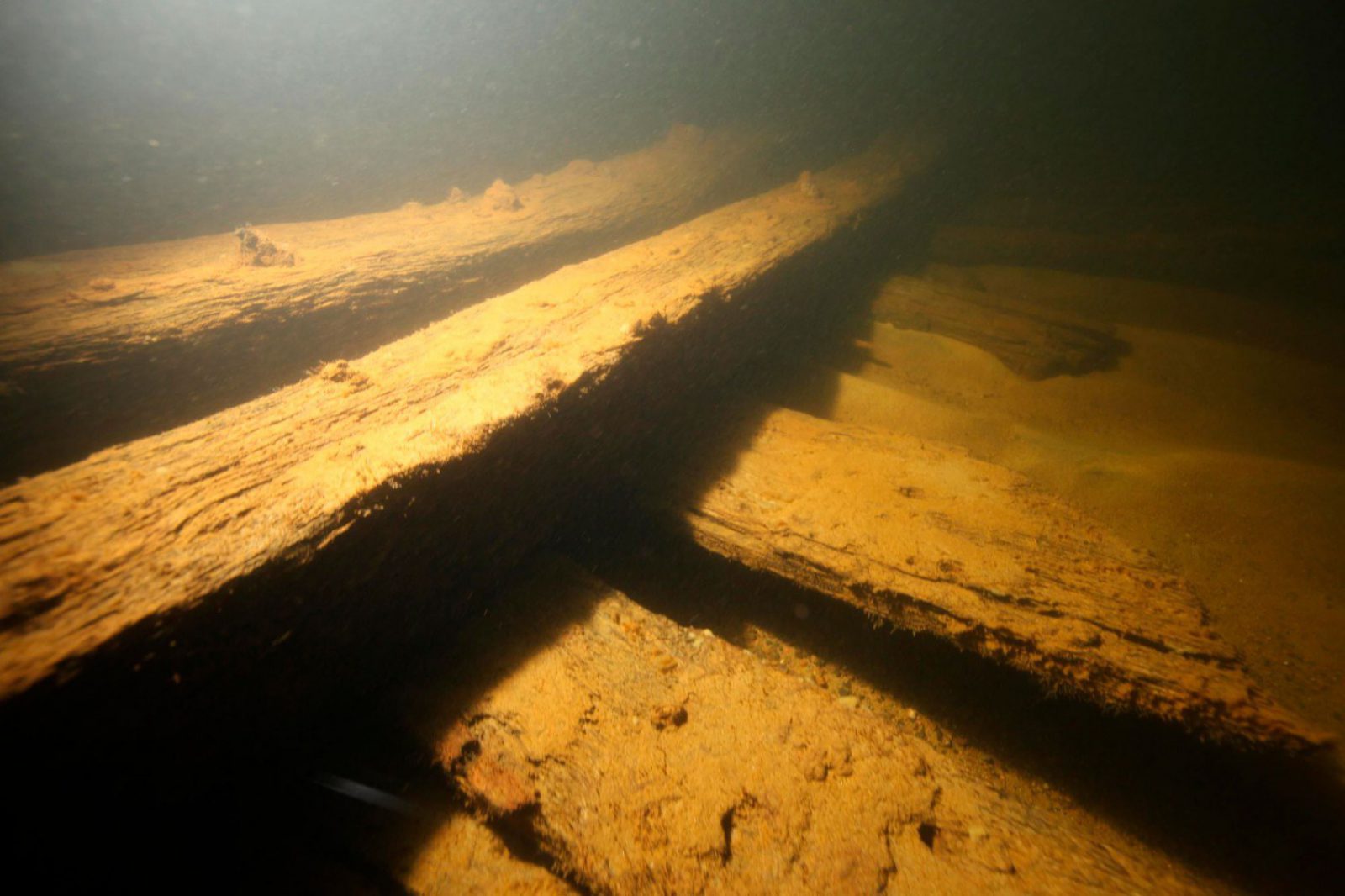
The fieldwork generated a wealth of new information on different types of sites (including 21 new wreckage sites). This information and fieldwork reports are now available in Finnish in the Cultural Environment Service Site maintained by the Finnish Heritage Agency (www.kyppi.fi).

The concept of an underwater landscape was created
The project also wanted to focus on the underwater landscape. For this purpose, the concept of an underwater landscape was defined together with the University of Turku's Department of Landscape Studies. The tool emphasises that there are larger landscapes underwater such as naval battlefields, ship traps and natural harbours, not just individual wrecks.
The tool also describes what experiences the landscape offers and how the unity of the natural and cultural heritage is present. Divers’ perceptions and experiences of the underwater landscape were collected through a survey together with the Finnish Divers’ Federation. Divers experience the landscape that opens beneath the surface with great emotion and it was often described as majestic and calming. Essential landscape details include the history of its formation and the underwater cultural heritage. Many divers are actively involved in mapping wrecks and also want to protect the underwater world.
The idea of the underwater landscape also ended up in Finland's first maritime spatial plan. It is used in the description of the Cultural Values label, in a map presenting Finland's coastal zones and their typical cultural heritage phenomena. It is also featured in the digital map of maritime spatial planning through the interface of the Ancient Relics Register. The Finnish Heritage Agency advances the mapping of underwater landscapes in underwater inventories, and their descriptions are added both to the Ancient Relics Register and to the site descriptions of nationally significant archaeological sites (VARK).
Maritime spatial planning
European Maritime Spatial Planning and the Marine Spatial Planning Directive (2014/89 / EU) aim to promote the sustainable development and growth of the various uses of the marine area, and the achievement of a good environmental status in the marine environment. The maritime spatial plans of the EU countries in the Baltic Sea region had to be ready by the end of March 2021. The completed plans cover almost the entire Baltic Sea region, with the exception of Russia.
The Finnish Heritage Agency and the agency's BalticRIM project team took an active part in the Finnish maritime spatial planning stakeholder work, workshops, and consultation phases. During the project, a status description of Finland's maritime cultural heritage was also produced that can be used in maritime spatial planning. The Regional Council of Kymenlaakso, a partner in the BalticRIM project, facilitated a wide-ranging discussion on maritime spatial planning in Finland and the Baltic Sea region, and more generally on spatial planning and objectives.
Cooperation between the project and its cultural heritage and maritime spatial planning experts from different countries provided interesting opportunities for discussion, learning, and information exchange. At the same time, a common vision was formed about the challenges and opportunities of integrating cultural heritage into maritime spatial planning, its role in blue growth and well-being, and as part of the past, present and future of the Baltic Sea Region.

Cooperation on cultural heritage in the Baltic Sea region continues
The project involved national experts in cultural heritage management and maritime spatial planning from the Baltic Sea region from Germany, Finland, Estonia, Lithuania, Poland, Denmark, and Russia. The project was led by the Archaeological Department of the state of Schleswig-Holstein. Project partners from Finland included the Finnish Heritage Agency, Metsähallitus, and the University of Turku. Other national partners were the Ålands Landskapsregering Kulturbyrån, the Regional Council of Kymenlaakso and the Finnish Divers’ Federation.
Cooperation on cultural heritage in the Baltic Sea region continues The project involved national experts in cultural heritage management and maritime spatial planning from the Baltic Sea region from Germany, Finland, Estonia, Lithuania, Poland, Denmark, and Russia. The project was led by the Archaeological Department of the state of Schleswig-Holstein. Project partners from Finland included the Finnish Heritage Agency, Metsähallitus, and the University of Turku. Other national partners were the Ålands Landskapsregering Kulturbyrån, the Regional Council of Kymenlaakso and the Finnish Divers’ Federation.
Cooperation between the project partners will also continue after the end of the project. The aim is to update the project's website, the Data Portal, and the WIKI website as part of the Baltic Sea Region's cultural heritage cooperation and as part of the activities of its underwater cultural heritage working group. Promoting the awareness of the marine and underwater cultural heritage and testing the use of the underwater landscape concept will continue in various countries. The partners are also interested in promoting the visibility and effectiveness of the cultural heritage, including during the so-called second phase of maritime spatial planning, i.e., the implementation, evaluation, and monitoring phase, and in increasing interaction with maritime spatial planners.
The project was one of the flagship projects of the EU Baltic Sea Strategy and was supported by HELCOM-VASAB, the main actor in maritime spatial planning. The project was co-financed by the BSR Interreg program.
Links and more information
Finland's approved maritime spatial plan (in Finnish)
Description of the status of Finland's maritime cultural heritage (pdf, in Finnish)