
BalticRIM (Baltic Sea Region Integrated Maritime Cultural Heritage Management)
The exploitation of sea areas is growing strongly. Traditional uses and new, often large-scale forms of utilisation compete for space. Maritime Spatial Planning (MSP) acts as a tool for cross-border and sectoral co-operation to reconcile different modes of use, to enhance the sustainability of sea areas and to achieve good marine environment. In the European Union, the Maritime Spatial Planning Directive (2014/89 / EU) sets the objectives for national implementation and transboundary cooperation. The deadline for implementation is 2021.
Owing to the sustained expert cooperation of national cultural heritage agencies in the Baltic Sea region, we are aware of the exceptional versatility of well-preserved underwater heritage in the Baltic Sea, even on a global scale. The BalticRIM project, prepared jointly by cultural heritage agencies, researchers and MSP planners, aims to develop macro-regional and national methods for taking into account the maritime cultural heritage of the Baltic Sea in MSP planning processes. The Finnish Heritage Agency has been active already in the project preparation. The maritime heritage databases and knowledge are analysed and elaborated in order to enable planners to include maritime cultural heritage into their processes. These methods are tested in pilot areas. Reviewing conflicts and synergies in different sea-area uses complement the MSP toolbox. The project co-operates with other MSP and heritage tourism projects. The common objective is to improve the accessibility and usability of maritime cultural heritage and to support Blue Growth.
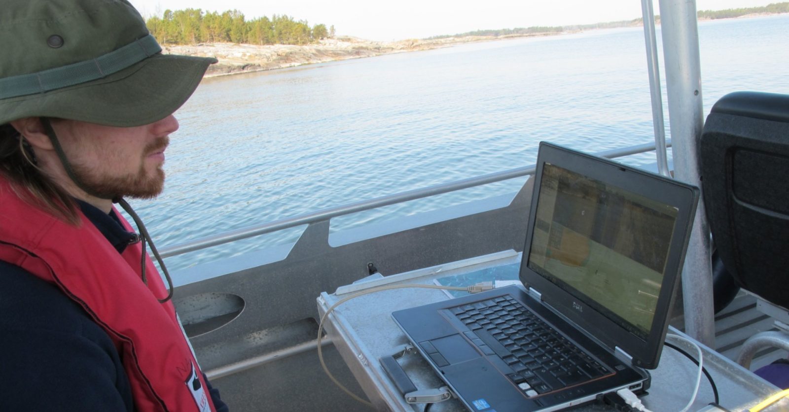
The project fieldwork across the sea in Finland generates new data and knowledge about the maritime cultural heritage. They map out larger areas of maritime and underwater heritage, and study special features and unifying themes, such as ship traps, historical sea-battle areas and underwater cultural landscapes. In workshops, divers, local actors and residents share their experiences and knowledge about the maritime cultural heritage. Underwater landscape, and how divers experience it, is explored through an internet poll administered by the University of Turku. The project activities and outcome will contribute to the three MSP plans in Finland, which the coastal Regional Councils will prepare by the end of March 2021).
The project partners are experts in the national heritage management and in MSP located in Germany, Finland, Estonia, Lithuania, Poland, Denmark and Russia. The Lead Partner is the State Archaeological Department of Schleswig-Holstein. Metsähallitus Parks & Wildlife Finland and the University of Turku are domestic partners. The Ålands Landskapsregering Kulturbyrån, the Regional Council of Kymenlaakso and the Finnish Divers’ Association are the national Associated Organizations of the project.
The project started in the autumn of 2017 and ends in the summer of 2020. The project receives co-financing from the ERDF Interreg Baltic Sea region -program. The joint HELCOM-VASAB Maritime Spatial Planning Working Group supports and follows the project implementation. The project has received the status of Flagship Project of the priority area of the EU Baltic Strategy. The European Commission selected the BalticRIM-project as one of the EYCH2018 Projects manifesting the European Year of Cultural Heritage.

More information
BalticRIM project:
submariner-network.eu
msp-platform.eu
MSP in EU:
msp-platform.eu
MSP in Finland:
merialuesuunnittelu.fi